
Maps for any project
MapVG exports are licensed for broad use – personal projects, client work, commercial products, and everything in between.
Convert any location on Earth into a scalable vector file with clean layers, simplified paths, and production-ready quality.
Try MapVG for freeMapVG exports are licensed for broad use – personal projects, client work, commercial products, and everything in between.
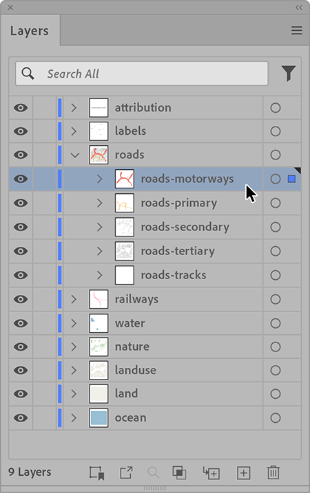
Every MapVG export arrives as a scalable vector file with structured, named layers – no grouping, no untangling, no chaos.
Roads, rail tracks and waterways export as stroke elements, giving you full control over stroke width, color and style.
From small towns to entire cities, your vector map is ready to download in a matter of seconds.
Gone are the days of tracing over screenshots or cleaning up messy plugin exports. MapVG gives you production-ready, scalable map files – structured the way you'd organise them yourself.
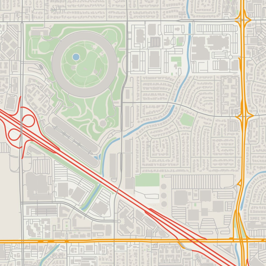
Customise your map design further in any vector editing software. SVG (Scalable Vector Graphic) opens in Illustrator, Affinity, Figma, Inkscape, CorelDraw, and anything else that accepts vectors.

Use Cases
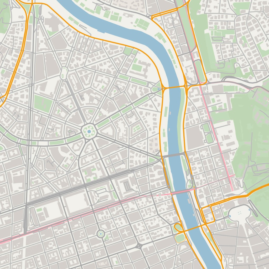
MapVG is built for people who create with maps – from tourist brochures to custom wall art, download production-ready SVGs for personal or commercial projects.

Tourism brochures, editorial spreads, wayfinding systems, branded maps for clients. Get a clean, editable base map in minutes instead of hours.
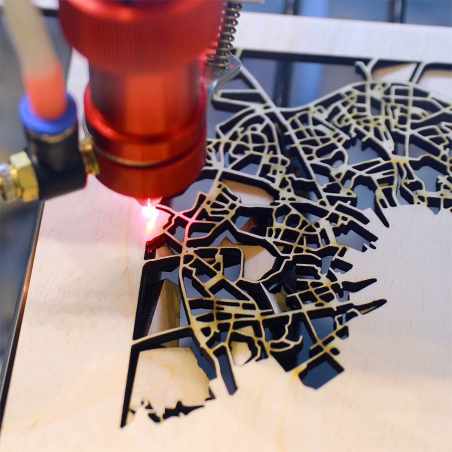
Laser cut maps of your city, your neighbourhood, the place you got married. Export exactly the layers you need for your cutting file – nothing extra.

Site analysis, planning documents, masterplans, and client presentations. Get accurate base geometry for any location without starting from scratch.
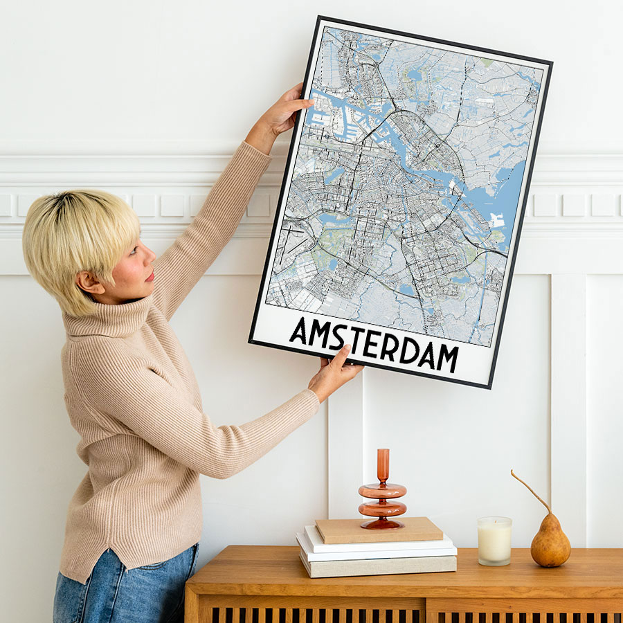
Running an Etsy shop or selling map prints on Redbubble? MapVG gives you a clean, commercially-usable base to build your designs on.
No subscription
Buy a single SVG map or purchase a credit pack to generate multiple vector maps. Credits never expire, and you won't be locked into a subscription or contract.
Learn moreFree up to 1 km²
Areas of up to 1 km² (~0.4 mi²) are free to generate and download. No credit card required. Just sign up, draw a box, and export a test map anywhere on Earth.
Open MapVG editorNo. MapVG is a browser-based tool, so you can use it straight away from any desktop browser – no software download or installation required. The MapVG editor is designed for desktop use only and isn’t currently available on mobile devices.
All maps are exported in SVG (Scalable Vector Graphic) file format – the standard vector format that opens in Adobe Illustrator, Affinity Designer, Figma, Inkscape, CorelDraw, LightBurn, and most other applications that can accept and edit vectors.
MapVG produces high quality, production-ready vector maps – made to require little to no cleanup. Roads, tracks, waterways, and other line features are rendered as stroked paths – not filled shapes – so you can adjust weight and style without redrawing anything. Layers are named and organised, making them immediately workable in your design tool of choice.
Detail level scales with your map area, and you control which layers and level of detail to include in your export. Most fine-detail layers are included even at larger extents (maximum thresholds apply for some).
MapVG’s underlying data comes from OpenStreetMap, so quality may vary by region – but coverage is excellent in most of the world, and we continuously test and improve the pipeline to catch edge cases. If something looks off in your export, you can report it directly from the editor.
MapVG’s free export threshold (up to 1 km²) lets you test any location before spending credits – so you can confirm the quality before you commit.
MapVG is built on OpenStreetMap data, which means a few things are worth knowing before you export.
MapVG uses OpenStreetMap® – a free, open geographic database maintained by millions of contributors worldwide, including openly-licensed data from national mapping agencies and other sources. OSM covers every country on Earth and is regularly updated, making it one of the most comprehensive and current sources of geographic data available.
Map detail reflects the density of local contributors – major cities and well-mapped regions are mapped to an exceptional level of accuracy, while some rural areas may have less coverage. MapVG syncs the latest OSM data daily to provide the most up-to-date geographic information.
Yes, vector maps generated with MapVG can be used for commercial purposes, including in print, web, and products you sell. When using a MapVG map for a commercial project please follow OpenStreetMap’s attribution requirements. For more information please read our Licensing Guide.
One credit equals one map. Whether you need a small map of Liberty Island or want to export all of New York City, the price remains the same. Only the availability of layers (level of detail) varies depending on the map size – this is to keep file sizes manageable.
You can purchase single credits or credit packs directly within the MapVG editor. Credits are added to your account immediately after purchase, and they never expire.
Export map data as SVG in seconds – no GIS knowledge needed. Get clean, layered vector maps ready for Illustrator, Figma or print.
How long does it take to vectorize a map? Five methods compared – from a full day of manual tracing to a five-minute SVG export.
Forget low-resolution screenshots and hours of manual tracing. Vectorize maps in seconds with MapVG.