
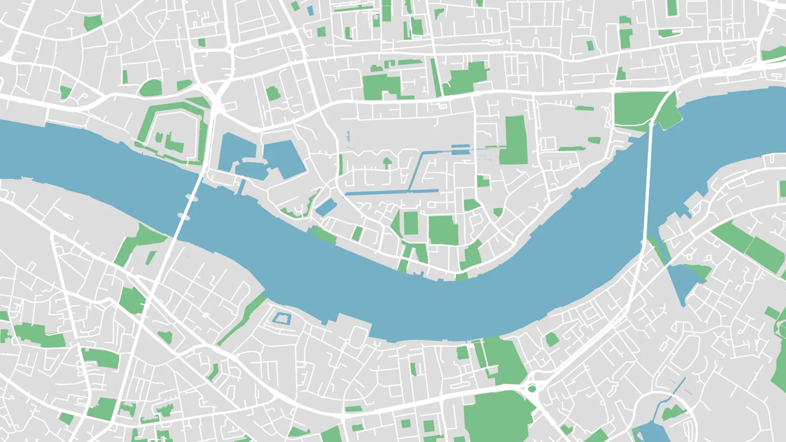
Vectorizing maps has traditionally been a difficult task that typically involved low-resolution screenshots, Illustrator’s image trace feature, and hours of manual tracing of roads, rivers, and park outlines.
Luckily, these days there’s an easier, much faster path to vector maps: The solution is MapVG, the online map-to-SVG tool that generates vector maps in seconds and exports them as fully editable, layered SVG files for web or print. Whether you’re crafting a tourist maps for your local city, editorial layouts, or need a base map for laser-cutting, MapVG’s vector maps are the easiest, most affordable way to a custom vectorized map.
Vectorize any location in three steps with MapVG
Open the MapVG editor and search for the location, then frame the exact area – a city centre, a town, a suburb.
Choose which layers to include: roads, water, buildings, green space, land. The editor shows a live preview.
Export, and open the SVG in Illustrator, Inkscape, Figma, Affinity, LightBurn, or any other vector editing tool.
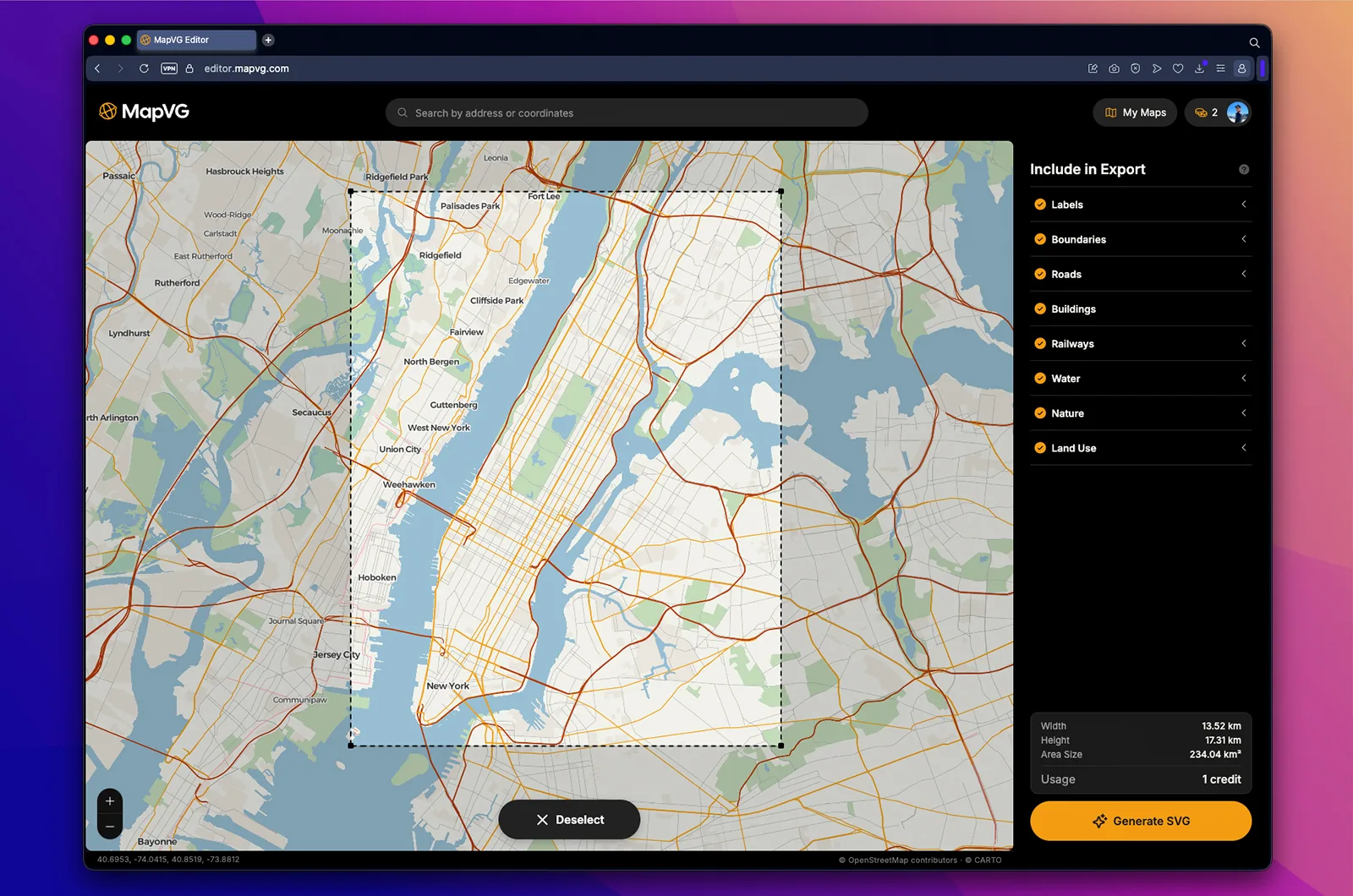
MapVG requires no GIS knowledge, no tracing, no clean-up – the map-to-vector generation takes a few seconds, and small trial maps are free to export.
Fully editable, layered vector maps
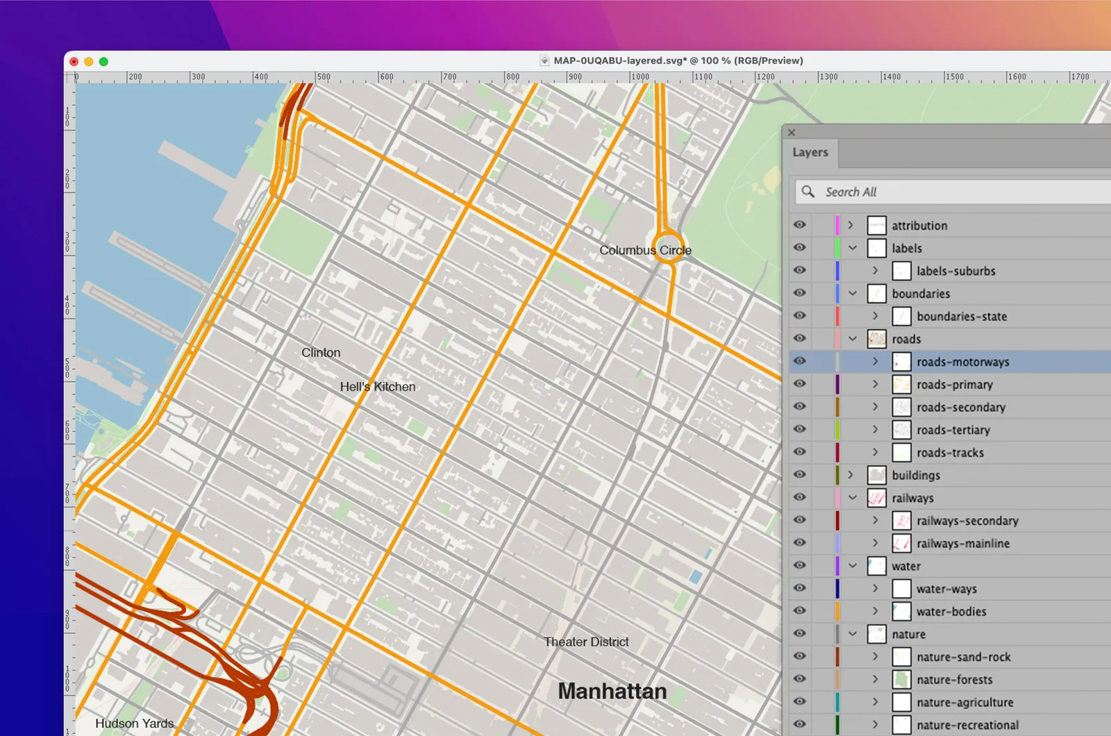
Every element in a MapVG export is a true vector path built from real geographic coordinates, not an approximation of pixels. Whether you edit your vector map in Illustrator, Inkscape, Figma, or any other SVG-compatible software, the file arrives organized into named layers and sublayers:
Select all roads, all water, or all buildings with one click.
Recolor, restyle or delete entire feature types at once.
Adjust stroke weights to suit your style and output size (roads, rail tracks and waterways export as strokes, not outlined polygons).
Scale to any dimension with no loss of quality.
That structure is what makes the export ready for real design work: custom map posters, laser cut map art, signage, branding, or wayfinding maps. And because the data comes from OpenStreetMap under the ODbL licence, finished designs can be used commercially (check our licensing guide for details).
No plugins, no GIS skills, no subscription
Alternative map and GIS tools are typically built for enterprise design teams and priced accordingly – with monthly subscriptions, expensive licences, and commercial terms that need a sales call to find out. MapVG was built for individual designers and makers:
Entirely browser-based – nothing to install, no plugins, no GIS software. Open the site, frame an area, export.
Made for designers, not geographers – no cartography knowledge needed. If you can frame a map, you can vectorize one.
Simple, affordable pricing – maps up to 1 km² are free, and larger exports use a straightforward credit model: 1 credit equals 1 map, regardless of size. No subscription, no contract, no licence tiers.
Vectorize your first map for free
Skip the tracing. Export a free vector map of any area up to 1 km² – no credits needed – and start with a fully editable, layered SVG instead of a trace to untangle.