

The fastest route to an editable vector map for use in Adobe Illustrator is to use the online vector map maker, MapVG. This browser-based SVG map export tool allows you to create your own custom vector maps in seconds, without the need for any GIS or cartography knowledge. The output is a fully editable SVG file, ready for post-processing in Illustrator, where every road, building, and waterway arrives as a separate, fully editable path.
This guide covers the easy 4-step process of how to create a custom vector map with MapVG.
Step 1: Set the export area
Open the MapVG editor and search for the town, city or location you want to export as a vector file. Click “Select Area”, then pan and zoom to frame the exact area in a bounding box.
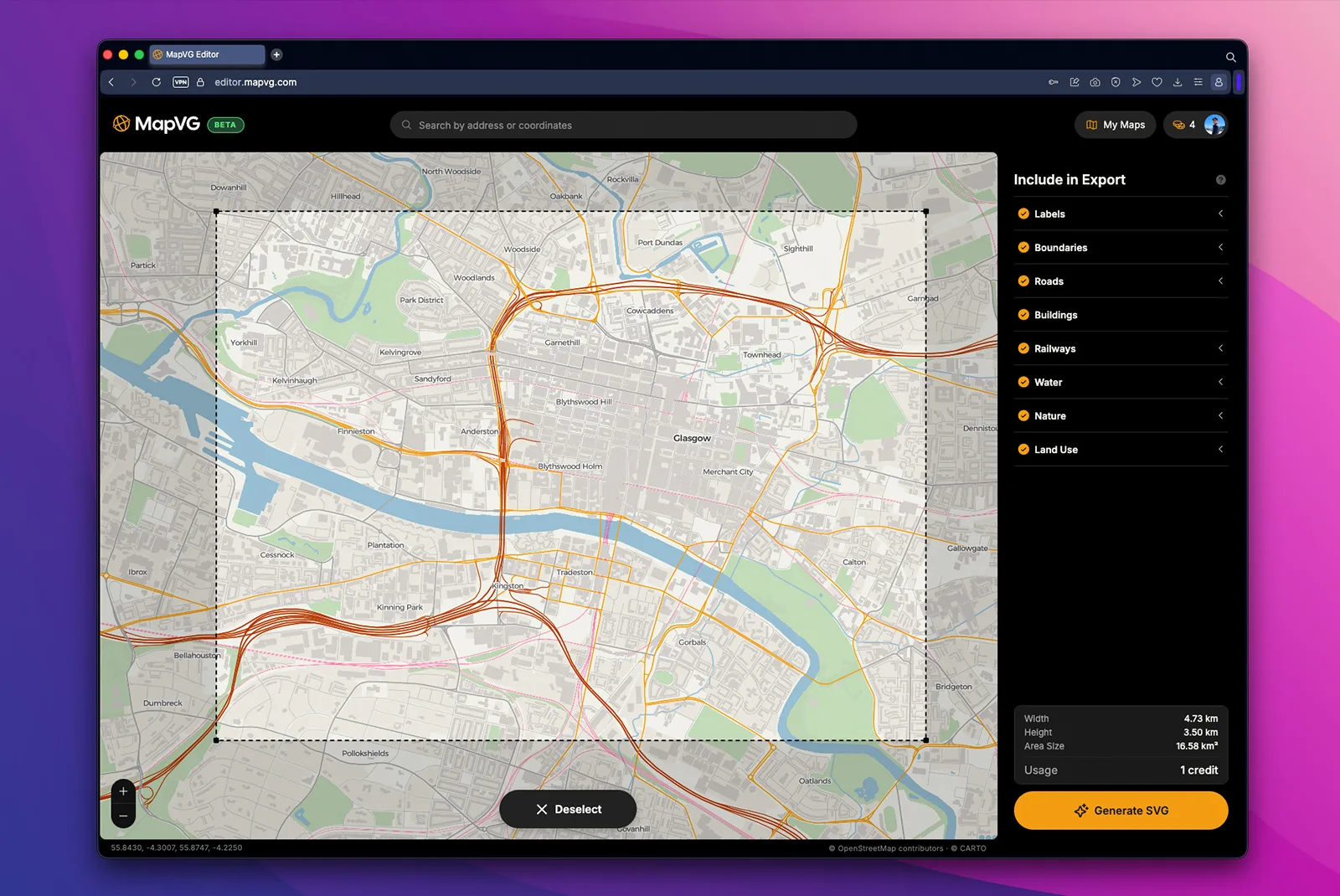
Tip: Maps up to 1 km² are free to export – ideal to test a trial output of your area in Illustrator before exporting the full map.
Step 2: Choose what layers to include
Before you export your maps, choose which elements to include.
Labels – text labels for anything from suburbs to countries.
Boundaries – country and state/province border lines.
Roads – motorways through to footpaths.
Buildings – individual building footprints.
Railways – mainline and secondary rail tracks.
Water – lakes and rivers (ocean is included by default).
Nature – parks, reserves, agriculture, forests and more.
Land – different shades for residential and commercial land use.
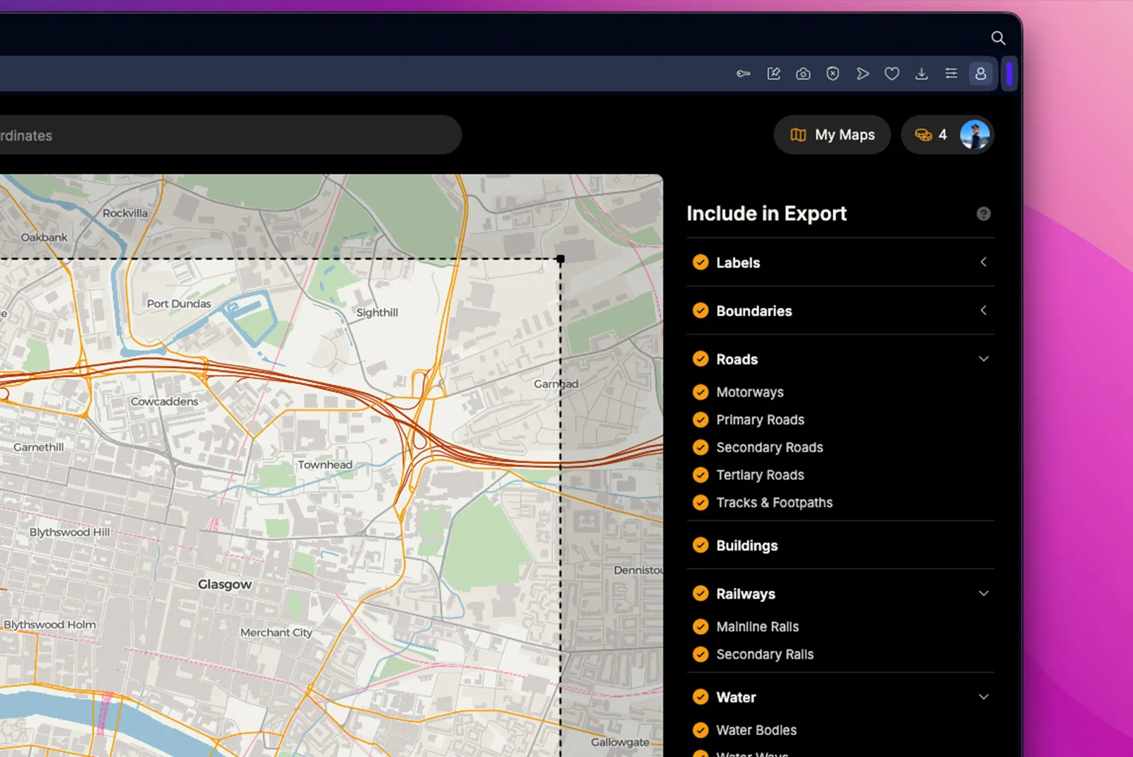
These element groups will perfectly match the layers and sublayers in your final Illustrator file. That means, whatever you choose here will not only be included in your SVG file, but also organised cleanly into layers and sublayers.
Step 3: Export as SVG
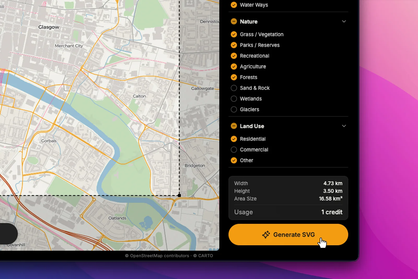
Once you’re happy with your bounding box and layer selection, click “Generate SVG” to vectorise the map. The map-to-vector generation process typically only takes a few seconds. For larger map areas it can take about a minute or two.
Step 4: Open and edit in Adobe Illustrator
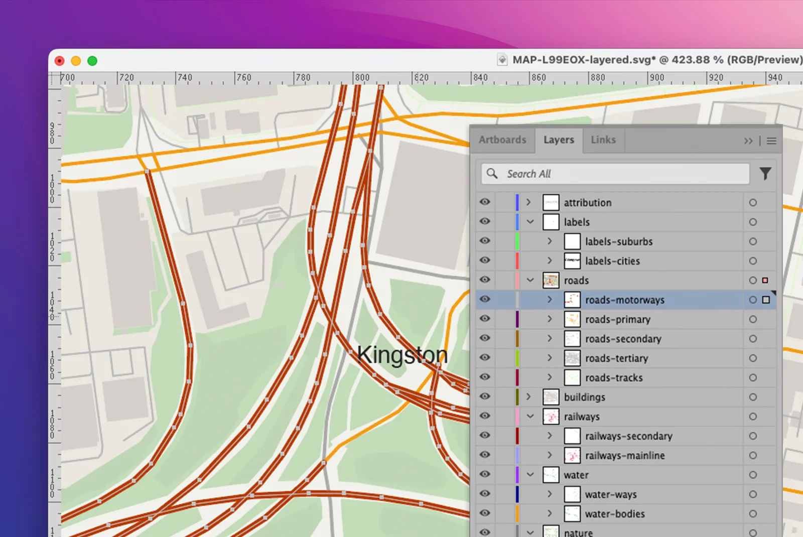
Open the SVG directly in Illustrator. Because everything is a true vector path rather than a flattened image, the map behaves like any other Illustrator artwork – ready for print, signage, laser cutting, or digital design.
Each map layer arrives as a named group in the Layers panel, so you can:
Adjust stroke weights on roads and waterways to suit your output size.
Recolour roads, water, or buildings globally by selecting layer groups.
Edit, remove, and change fonts on labels to match your project style.
Licensing for client and commercial work
Map data comes from OpenStreetMap (OSM) under the ODbL licence, which means you’re free to use MapVG-generated maps in any way you like – from personal project to client work and as printed products.
The only requirement is that you must include a small mention of OpenStreetMap in any commercial work. Learn how to credit OSM contributors in our licensing guide.
Start with a free vector map
The quickest way to see how a MapVG export behaves in Illustrator is to try MapVG for yourself: Export a free SVG map of any area up to 1 km² – no account needed – open it in Illustrator, and start designing.