
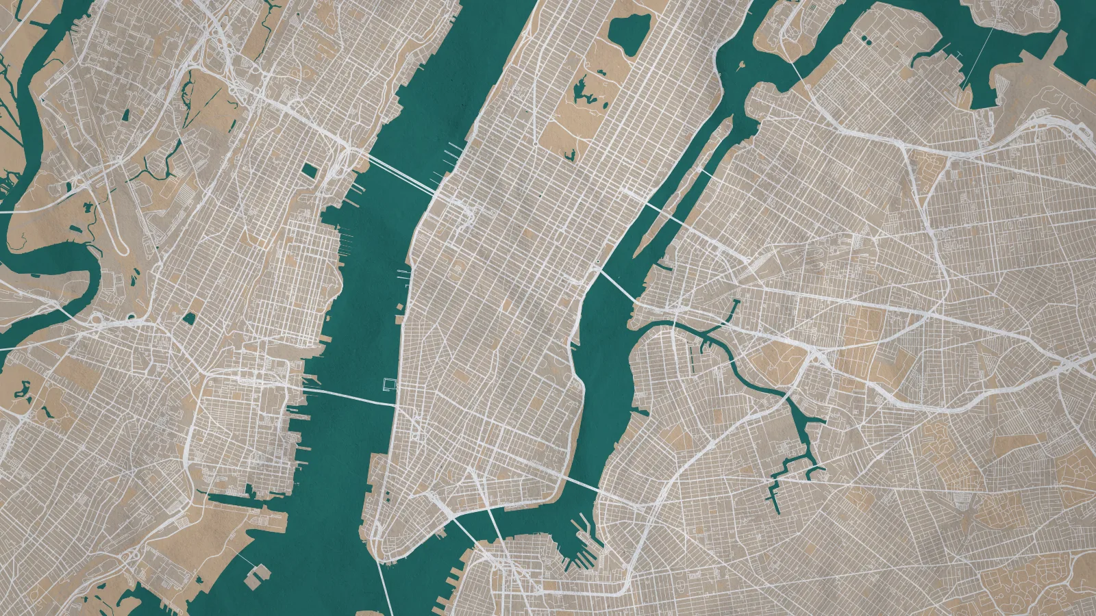
Tracing a map for a design project doesn't feel expensive while you're doing it. It feels like meaningful work. But a map is rarely the deliverable – it's the base layer you build the actual design on top of, and the hours it swallows come out of the part of the job that matters.
Let’s compare five options for vectorizing maps – from traditional methods such as manual tracing in Illustrator or Inkscape, to automated map-to-vector generation with tools like MapVG.
The five methods
There are five common ways to get a vector map, and they differ more in time than in anything else. Some are free but slow, some are fast but need setup, and one that’s affordable and fast. Here's how they compare for a neighborhood-scale map – roads, water, green space, building footprints.
Method | Time | Cost (USD) | What you're spending it on | |
|---|---|---|---|---|
Manual tracing | 4–8 hours | — | Anchor points. Thousands of them. | |
QGIS export | 3–6 hours first time | — | Learning curve, then untangling flat paths | |
“Image Trace” | 2–4 hours | — | Cleanup, then usually starting over | |
Outsourcing | 1 hour of your time, 1–7 days waiting | $450+ | Briefing, waiting, revision rounds | |
MapVG (vector map generator) | <5 minutes | from $12.50 (free to try) | Selecting an area and picking layers |
Why each one takes as long as it does
Manual tracing
Manual map tracing is the honest benchmark. A few square kilometers of street grid is hundreds of separate paths, and coastlines or river systems are worse. Half a day is normal; a full day isn't unusual. The frustrating part is that the result is genuinely good. The method works, but it can cost you an entire day.
It’s also worth being honest here: If you need a stylized, illustrated map with custom landmarks, hand-drawn character, or a distinct visual voice, tracing (or commissioning an illustrator) is the right call. Automated output gives you accurate geometry, not artistic interpretation.
“Image Trace”
On the surface, this Illustrator feature looks like a shortcut – but if you’ve ever tried this on a Google Maps screenshot you’ll know that “Image Trace” doesn’t work on maps. The algorithm can't tell a road from a river from a label, so you get thousands of uneven, unnamed polygons with text baked into the geometry.
While this is often being portrait as an acceptable solution, in reality it creates more work than it saves time: Most designers spend a couple of hours fighting the output, and eventually trace it by hand anyway.
QGIS export
Most QGIS tools are completely free. But they do come with some serious downsides:
QGIS stands for Quantum Geographic Information System, which already tells you that these tools are certainly not built for creative purposes. They usually require at least some level of GIS knowledge and experience, so your first few maps costs you the learning curve.
On top of that, the files often need some serious manual cleaning up and structuring: flat path structures, styling that doesn't survive the export, and files heavy enough to make Illustrator crawl.
However, once you know your way around a particular tool and have found a fast way to tidy up the files, QGIS tools can be free and relatively quick way to vector maps.
Outsourcing
Hiring someone else to vectorize your map is the best option if you’re not interested in producing the map yourself, but it comes with genuine time and monetary costs. Outsourcing moves the time rather than removing it.
The active work is about an hour: writing the brief, gathering references, reviewing what comes back. The problem is the calendar time around it. A multi-day turnaround plus isn’t unusual. Add a revision round and this method can easily take about a week.
MapVG (vector map generator)
A map-to-vector generator like MapVG takes less than five minutes. Select an area, choose your layers, and export a layered SVG. Roads, water and rail come out as strokes rather than filled shapes, so line weights are adjustable without redrawing anything, and layers arrive named rather than as one flat mass.
At under $20 per map, MapVG is priced to be the most affordable, most accurate, and fastest method to a production-ready vector map – and that’s not by accident: As a graphic designer who regularly needed quality vector maps for design projects, I purpose-built MapVG for this very reason: all other methods are slow, inaccurate, and often require skills not everyone wants to acquire. And a
Try it yourself for free
Don’t just take my word for it – try MapVG yourself with any location on Earth: Exports up to 1 km² free, no credit card required.
Pick a location you'd otherwise be tracing, export it, and open it in Illustrator. Then start thinking about what else to do with your freed-up afternoon.