
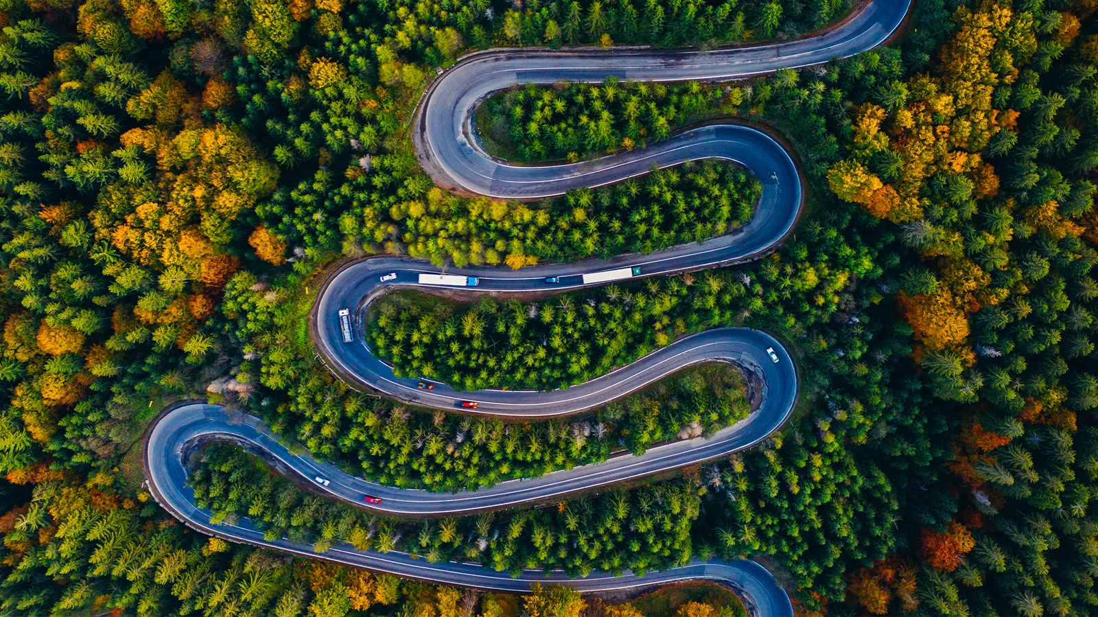
MapVG is in public beta. That means it's a real, functioning tool for vector map generation. But building software that processes the geographic complexity of an entire planet is, by nature, a winding road. Edge cases get discovered, outputs get refined, and the pipeline keeps improving.
This article is an honest look at what works, what’s limited, and what we’re still working on.
What MapVG is today
The core product works. Draw a bounding box, select your layers, and export a clean, editable SVG map in seconds. That part is solid, and the quality is remarkably high.
MapVG maps contain a large amount of detail, depending on the layers and sublayers you toggle on. At larger sizes, some sublayers become automatically unavailable to reduce bloated artboards and to keep file sizes manageable.
What we (the founder of MapVG along with my partner) are still working on is better coverage – the long tail of edge cases that come with processing real-world geographic data at scale.
OpenStreetMap data is contributed by millions of people across millions of locations, and it isn't uniform. Some areas are mapped in extraordinary detail; others are sparse. Some road configurations, boundary shapes, and land use overlaps produce geometry that exports cleanly; others require more careful handling.
Limitations and edge cases
While MapVG is already an exceptional vector map creation tool, some limitations still exist.
These aren't bugs. They're characteristics of how OpenStreetMap data is structured and how vector map generation works at scale – and we’re working hard to test and improve our map-to-vector pipeline based on edge case exports and user feedback.
Road labels
Road labels are currently not included. Exported SVGs contain road geometry only (the roads themselves), but no text elements. Street names, highway numbers, and other road labels won't appear in your file. If these labels are essential for your project, they'll need to be added manually in your design tool.
Tiling and segments
Map elements may appear as multiple segments. Rather than rendering as single continuous shapes or lines, features like land masses and roads are sometimes exported as several separate paths.
This is a direct reflection of how the underlying OSM data is structured, not an export error. In most cases this doesn't affect usability, but it's worth being aware of if significant path editing is planned – especially for larger maps over 5,000 km².
Layer and map size limits
Some layers are unavailable for large map areas. To keep file sizes in check, fine-detail layers are automatically restricted once your bounding box exceeds certain size thresholds. The sidebar always shows exactly which layers are available before you generate your SVG map.
The maximum map area is 100,000,000 km². This covers most practical use cases – including continent-scale exports – but it is a hard limit.
Unwanted artefacts
In a very small number of test maps we’ve found that unexpected vector polygons have sneaked into the SVG maps. They are usually easy to spot since they are large land area overlaying the ocean. We’re actively working to resolve this issue – but if you were unlucky enough to export an area where this problem occurred, the unwanted artefacts can easily be deleted in the SVG file.
Editor preview
The interactive map in the MapVG editor already hides layers and sublayers you’ve unchecked in the sidebar. But in some edge cases, your exported SVGs may not match exactly what you see in the editor. It’s a general-purpose base map, not a live preview of your export.
OSM data coverage varies by location, which means some areas may have more or less detail in the final SVG than the editor preview suggests. If you're working in a less-mapped region, a small test export first is a good idea.
Something doesn't look right?
If you’d like to join us on this road to becoming the best version of a map-to-vector tool available, please give MapVG a try and submit your feedback within the editor. Your input during this beta period genuinely shapes where the product goes next.
You can test MapVG for free by exporting any location on Earth up to 1 km² in area size – no payment details required.
If you come across an export that seems incorrect (geometry that looks clearly wrong, a layer behaving unexpectedly, or anything else that gives you pause) – please get in touch. Every report is highly appreciated, gets looked at, and edge cases that seem minor often lead to improvements that benefit everyone.